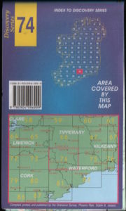
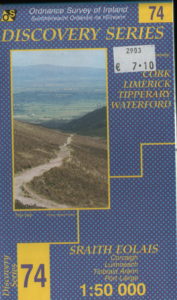
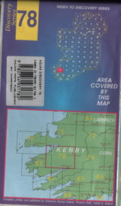
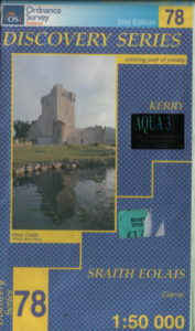
The most suitable maps for hillwalking in Ireland are the Ordnance Survey Discovery Series. They can be obtained from any shop specialising in hillwalking.The present cost is €8.40 each. A more expensive laminated version is also available. Scale 1:50 000 where 2cms equals 1km (grid square size).
Both types are shown below with links for ordering online.


The above map is the standard type and can be ordered online from http://wildsidesports.ie/collections/books-maps/products/discoverymaps
Cost €8.40 each


The map shown above is is laminated and waterproof. These maps can be ordered online from the following website http://wildsidesports.ie/collections/books-maps/products/aqua3discoverymaps cost €21.95 each
|
Discovery Series Maps
|
|
|
Area
|
Map Number
|
| Dingle Peninsula |
70 &71
|
| Ballyhouras |
73
|
| Galtees, Knockmealdowns |
74
|
| Comeraghs, Slievenamon |
75
|
| The Reeks, Gap of Dunloe, Purple Mountain, Mangerton, Torc, Old Kenmare Road, Molls Gap. |
78
|
| The Paps, Caherbarnagh, Crohane, Stoompa, Claragh Mountain, Musheramore. |
79
|
| Caherciveen, Waterville. |
83
|
| Hungary Hill, Bere Island, Allihies, Dursey |
84
|
| Glengarriff, Bantry, Priests Leap, Knockboy, Gougane Barra. |
85
|
